A dynamic border river often cause dispute between countries and it is a common practice to restrict its geomorphological process in order to stabilise and thicken the border. Our project is an experiment of how a braided border river can build the ground to organise new interstitial territories that deal with the economical, environmental, and cultural conflict at the Schengen free-movement cross-border zone, where the current internal borders are diminishing.


by Anji Han & Johanna Yi-Chun Kuo

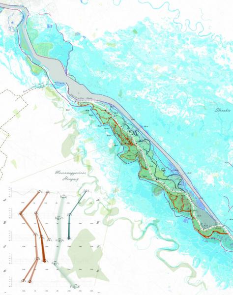
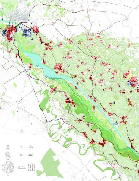
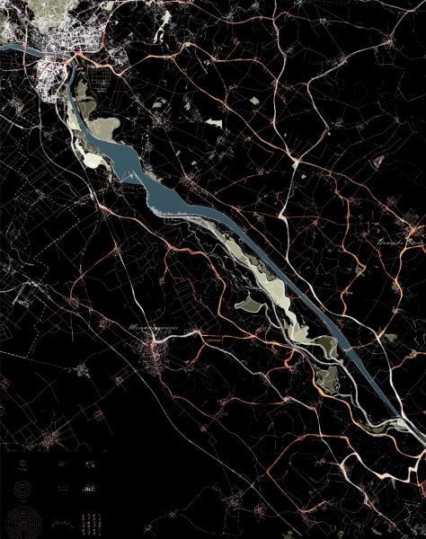
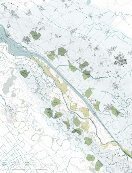
AALU13-14 Border River Rehabilitation Europe Atlas

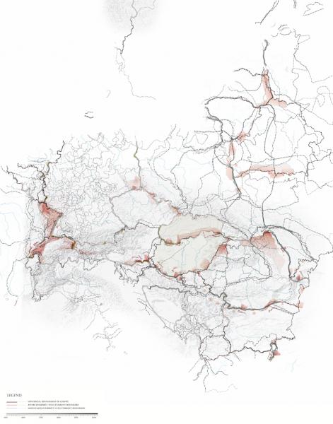
The borders of Europe went through various stages of changes for the past 1000 years, especially at central/eastern Europe. The changes were imposed by different government structure, wars, relations between nations and policies for city developments.

AALU13-14 Border River Rehabilitation Historical River Geomorphology

The geomorphological map displays the extent of the average flood event, 100 years and 1000 years. The main stream of the river is the current border between Slovakia and Hungary. Since the construction of the hydro-power dam in 1993 by the communist Czeck-Slovakia, the original river bed and habitat have been damaged. Also, artificial cannel built on the Slovakia site thickened the border and discourages cross-border movement.

AALU13-14 Border River Rehabilitation Site Flood Risk

The majority of the flooded area is affecting agriculture land, residential settlement and industrial towns, especially on the Slovakia side. Area with the deepest flood water level accessible by the roads are identified as the prominent area for future development.

AALU13-14 BorderRiverRehabilitation_Crossborder Movement

Cross-border economical movement between Hungry and Slovakia, Where Hungarians seek employment opportunities in the Slovak capital of Bratislava, and Slovak visit Hungarian towns for lower property and goods prices. The current infrastructure framework has restricted direct movement across the artificial river canal.

AALU 13-14 Border River Rehabilition River Geomorphology

The simulation indicates the break points of the existing perimeter dike during a flooding event.

AALU13-14 Border River Rehabilitation Cartogenesis

Potential location for the initial Ecological Focus Area based on a series of site constraint: proximity to main stream, flood zone, and existing settlement.

AALU13-14 Border River Rehabilitation Catalogue1

River channel intervention by various configuration of vegetation

AALU13-14 BorderRiverRehabilitation_Catalogue2

River channel intervention by various configuration of wing dikes

AALU13-14 BorderRiverRehabilitation_Catalogue3

Island shape intervention by various configuration of edge dikes

AALU13-14 BorderRiverRehabilitation_Catalogue4

Island shape intervention by temporary modular barrier and curved dikes

AALU13-14 BorderRiverRehabilitation_Slope Study

Detailed slope study of vegetation intervention

AALU13-14 BorderRiverRehabilitation_physical model image 1

A zoom-in model of the potential Ecological Focus Area consisting of the different stages of the topography change caused by river geomorphology (represented by the transparent layers), and the intervened topography represented by the cardboard.

AALU13-14 BorderRiverRehabilitation_physical model image 2

Plan view of the zoom-in model showing the dynamics of embankment slope