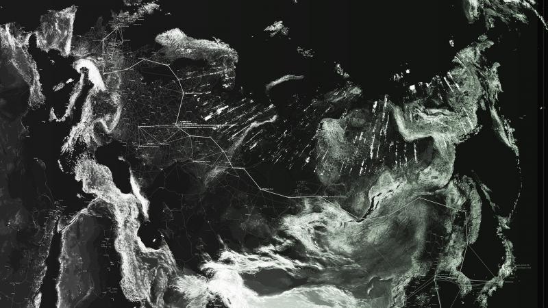
The contemporary form of power and governance is not the State or the Corporation but the Compound.
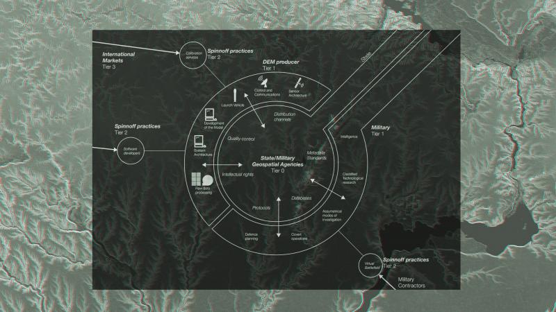
Compounds are usually thought of in terms of their exclusion and their conditions of entry, but its exit and movement between compounds that is their primary characteristic. Binding military operations, state agencies and oligarchies, venture capitalists, scientists, geeks, and architects; removed from their conventional fixed categories and bureaucracies and put together as a task force.
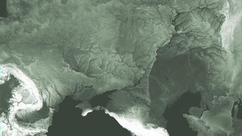
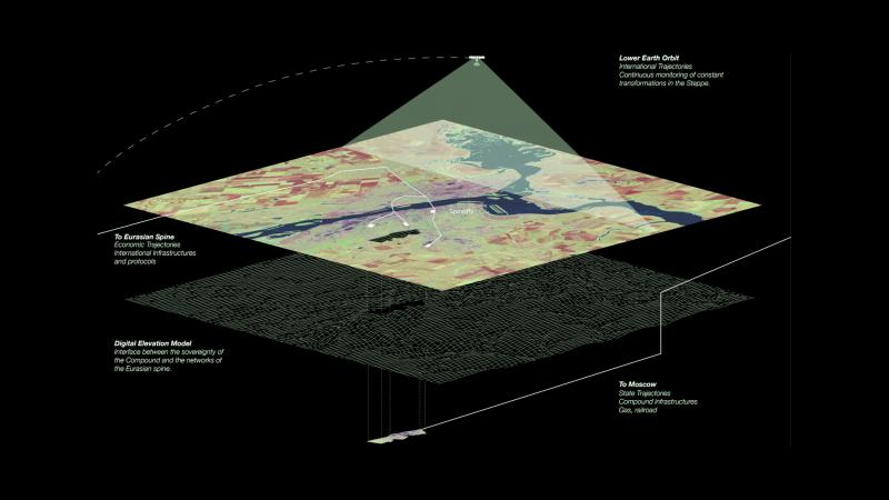
The Digital Elevation Model (DEM) is a dataset of geo-referenced gridded elevation data: each pixel is describing the elevation of a given co-ordinate on the surface of the earth. It is therefore an image that is not directly visible, because it does not contain any data that directly relates to our ability to see hue or tone. It is nevertheless being mobilized as the contemporary image of the nation. As opposed to early pictorial nationalist imagery, the National DEM is being used by nations, primarily the US, to reorganize the diffuse and dissociated geo-spatial operations on their territory on a common national basis.
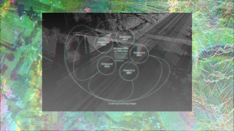
The project challenges the notion that the DEM is a territory and instead asserts that it is a compound. The Eurasian DEM is made through a series of specific architectures, Compounds, not only of sensing technologies and their peculiarities but also the protocols for the deployment of those technologies, security interests, legacies and politics.
The only way to create conditions for international cohabitation in the vast Eurasian space is to be constructing and operating through compounds, constantly competing and conspiring in the production of the images that will make that space visible.
DEM Compound
DEM as Interface
Compound Visibility
Compound Visibility
Compound Visibility
Multiple Operating Logics
Multiple Visibilities
The Eurasian spine
Compounds - Governing the Eurasian Steppe
Compounds, starting-up, shutting-down, spinning-off, binding, assembling, splitting, accelerating, decelerating, and changing course. They are the contemporary form of governance of our vast spaces of cohabitation, oligarchic, extremely focused, and violent.

